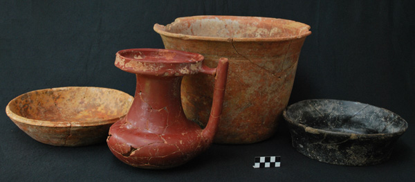
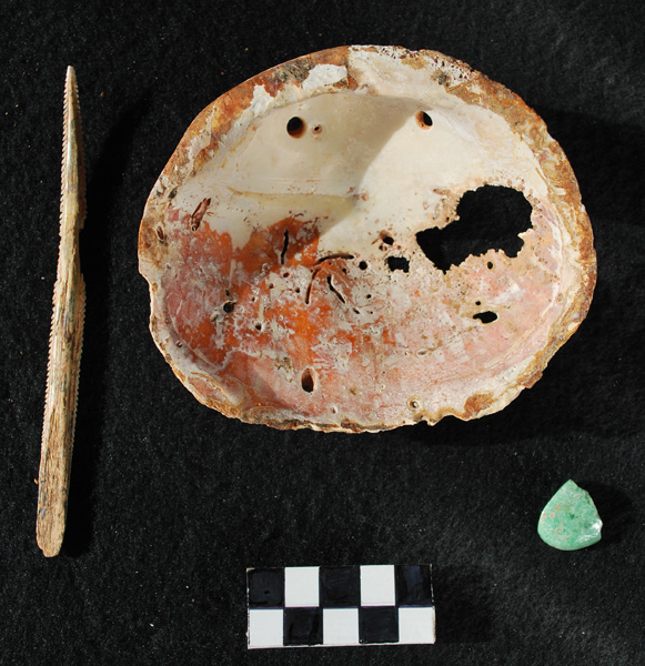
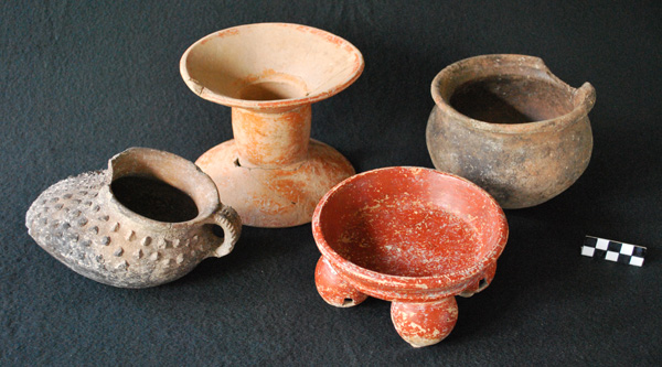
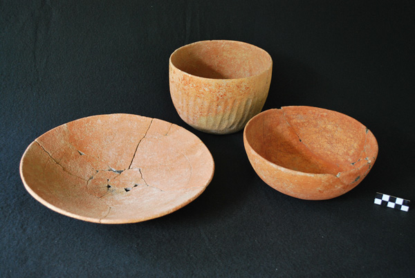
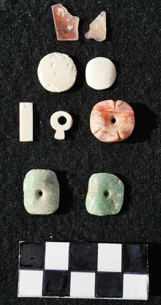
This week was spent finishing all the cataloguing, drawing, and photography that goes into a successful filed season. By Wednesday, all of the necessary artifacts were boxed and documented for transport to the Institute of Archaeology.
The beginning of the week was also spent on tasks other than artifact processing. In particular, we focused on ground survey in support of the LiDAR ground-truthing.
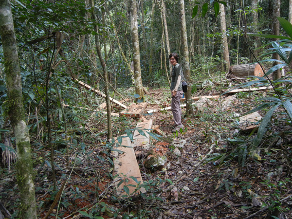
On Monday, survey focused on the area beyond the Conchita Terminus. We started out by going down the Pajaro-Ramonal Causeway, which had literally been turned into a road in the off-season in order to haul out illegally-cut cedar and mahogany. The illegal logging in the Caracol Preserve is far worse than last year. All of the cutting also made our attempts to follow the causeway difficult. The Pajaro-Ramonal “road” goes almost all the way to the old Retiro/ Cowboy Camp lumber road. Our survey team went to this old road, which wasn’t being used by the loggers and cut north to where the Conchita Causeway runs across it. We then cut to the east following the Conchita Causway to its large terminus plaza. Our brecha crossed a major horse trail running north-south, which was being used by the illegal loggers (explaining why the road wasn’t clear).
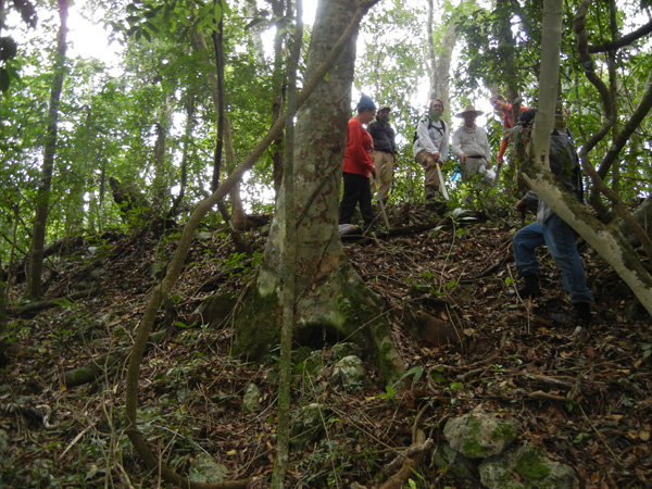
When the Conchita terminus plaza was reached, we went southeast from it, trying to go around Conchita hill, which rises almost vertically to the elite group on its summit. Eventually, we made it around the south side of this hill and then climbed to the far eastern hill, where a carved capstone had come from a looted tomb in 1993. At the summit of this hill, we went through two ancient plaza groups and saw the double-decker tomb that had been looted earlier in the eastern building. We then continued west down the slope into new territory, going northeast through a valley and then climbing yet another hill. On the way up this hill, we crossed another horse trail running northwest-southeast that was obviously being used. At the top of the hill was a large group that had been savagely looted at some time in the past; trenches completely penetrated the southern and eastern buildings.
After looking at this group, we decided that it was time to head back to camp. We returned to the open brecha and followed it to the northwest, coming to the first of three areas with downed and cut-up cedars. Boards and partial boards were located in each of the areas. The illegal loggers use chain saws to make 4 inch thick boards, which are left to dry to lessen their weight before being transported to Guatemala. Horses haul this lumber out of the Caracol preserve. If there is a defect in the cedar or they don’t like something about it, they leave the entire tree to rot. All cutting is done at night so that they are less easily detected and found. The amount of destruction to the forest (not to mention ruins and animals) is significant. The rangers say that there are at least 7 or 8 teams of 4 people each continually cutting and hauling lumber into Guatemala. They are now some 10 kilometers into Belize.
We used the brecha to begin to make our way around the north side of the Conchita hill. However, as it went to the northwest, we soon cut our own path back to the side of Conchita hill and were rewarded with an aguada in the valley bottom that still had water in it. Some stones on its edge indicated ancient modification. An old abandoned camp building was on its south side. We continued south finding a group on a slight hill. Then we went west on the side of the hill, eventually coming to an almost vertical drop that was located to the north of the Conchita terminus plaza. We re-found our original brecha on the Conchita Causeway and headed back into camp – a good morning’s work and a 12 kilometer hike.
On Day 2 of survey, another team went down the Pajaro-Ramonal Causeway to where the LiDAR showed a new east-west causeway to exist. We were able to find and follow this causeway. We were also able to successfully find smaller features identified as reservoirs in the LiDAR and confirm that they were in fact reservoirs. In the afternoon, another survey group went out past the Machete Group, again confirming the existence of reservoirs in the LiDAR imagery. The afternoon survey group got caught in a downpour and got back to camp completely soaked.
Wednesday saw work continuing on camp and shelf repair. It rained on and off throughout the day. Much of the laboratory materials were packed for storage.
On Thursday, the stabilizers left in the afternoon, taking 4 of our workers out as well. The consolidators will return next Monday to finish stabilizing the Northeast Acropolis. At this point, they only have Structure B33 and plaza clearing left to do.
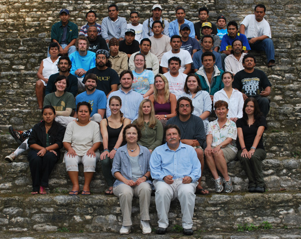
On Friday morning, the rest of the field crew will leave camp at first light. We will head to the San Ignacio Hotel for our traditional end-of-season “dinner.” On Saturday, we will all disperse and some of us will be home that evening, marking the formal end of the 27th field season at Caracol. This has been an excellent season. We have found some of the earliest and latest settlement at the site, successfully ground checked radar, and more fully documented the Northwestern area just outside the site epicenter.


I have been avidly following all that you have accompolished during this dig season and have been both facinated and impressed by how much you can do in such a short period of time. I wonder how you can stand to leave with so much going on. I cannot thank you enough for allowing Max to participate in this exciting adventure. I am sure it has lived up to his expectations and dreams.
Congratulations on another wonderful field season!! Safe trip home to all.
I was wondering. Cenotes are very important to the Maya. The formations inside of them indicate that at some time they were above the water level. Is there any indication that the Maya lived in them after the last glacial maximum? This could easily be a good reason why ithey are important in their racial memories.
I was also curious as to the Andes ice core samples which indicate that the Moche failed in Peru because of a super El Nino that lasted 60 years. Could this have also effected the Maya and caused their downfall?
We visited Carocol this week and enjoyed it more than Tikal. It is an incredible site.
discovery of a very historic, great .. I’ve never seen anything like it .. it was impressive, unique ..nice share!
There has been an increasing interest in Maya archaeological sites especially in 2012, which according to the Mayan is supposed to be “the end of the world”
You field trip to Caracol triggered my curiosity about this mysterious place and I really hope all these talks about catastrophes will remain just that.
Very nice and interesting post, thanks!